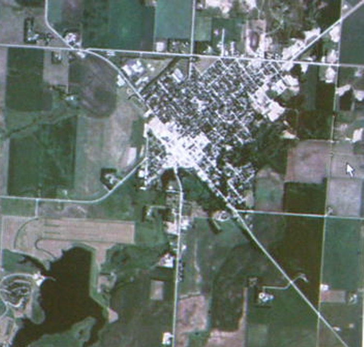
Yesterday I spent some time on line surfing for satellite images and found several. I'm planning on using these images as a beginning design point for my tapestry series. Some of them are truly spectacular and others are really old. Once I find an interesting image, I am taking a photo of the computer screen and then running the image through Paint Shop Pro 6 to resize and crop. Then I print out a copy to use for reference and proportions (if needed - I set up a grid system on the page and then transfer the image to a full size paper) and sketch from there. Some of the colors are pretty neat too, but I'm not planning on trying to make an exact replica of the photo. This is a image of Canby taken around 2003, and will be neat to reference for size and placement of the town amoung the fields. At this point the image has already gone through three filters and is fairly grainy, but for my purposes it will do nicely. It will be processed again as I sketch and transfer it to the full size cartoon, and once again in the actual weaving process. The yarns, colors and weaving textures used will all serve to transform it to what I hope will be a very interesting piece of visual art!
Did you try http://earth.google.com/ ?
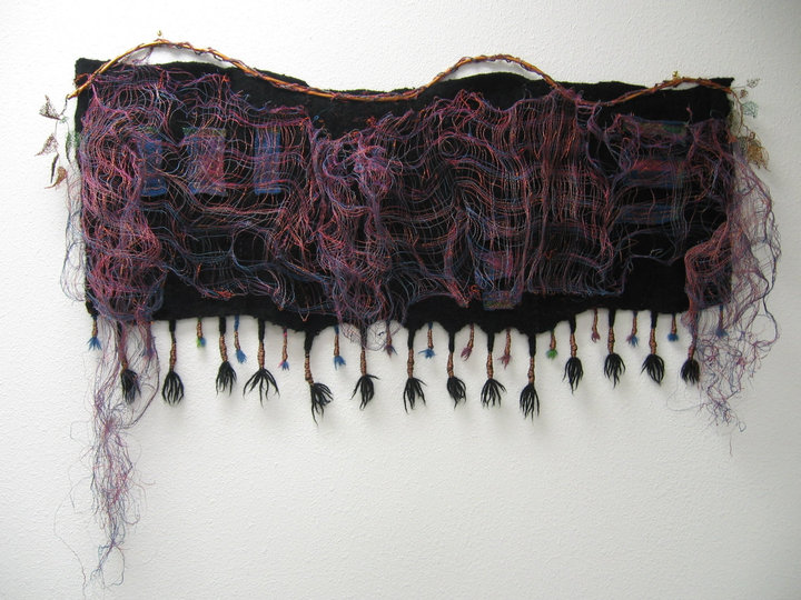
ReplyDeleteThe bag is done! Check out the blog to see a picture.